
STORIES, INSIGHTS, NEWS, EVENTS & INNOVATIONS
Sensing Clues Newsblog & Events
Stay informed on the latest breakthroughs, stories, and innovations driving change in nature conservation and wildlife protection.


IMPROVED PATROL MAPS & REPORTS, TRACK DOWNLOADS & NEW TAGS IN FOCUS 360
Latest Updates on the Sensing Clues Platform

DO MORE WITH DATA
27.03.2025
Unlock the potential of data for conservation with this interactive webinar

NATURE FIRST CONFERENCE – INNOVATION AND COLLABORATION IN CONSERVATION
25.-26.06.2025
Ouwehands Dierenpark, Rhenen, Netherlands

CAUGHT IN THE CAMERA TRAP – NAVIGATING THE MYRIAD OF OPTIONS
23.01.2025
Discover the best wildlife camera trap solutions in this webinar

CHAT WITH A WILD ANIMAL: A NEW ERA IN WILDLIFE EDUCATION
Introducing GenAI powered educational chat functions

FEDERATED MONITORING, EVALUATION, AND IMPACT ASSESSMENT
A New Paradigm for Collaborative Nature Conservation


3. TUSNAD ECO BEAR CONFERENCE IN ROMANIA
Sensing Clues and Nature FIRST Join the Tusnad Eco Bear Conference in Romania

INTERVIEW WITH KOEN DE KONING ABOUT DIGITAL TWINS
Revolutionising biodiversity monitoring with real-time data and predictive models for wildlife protection


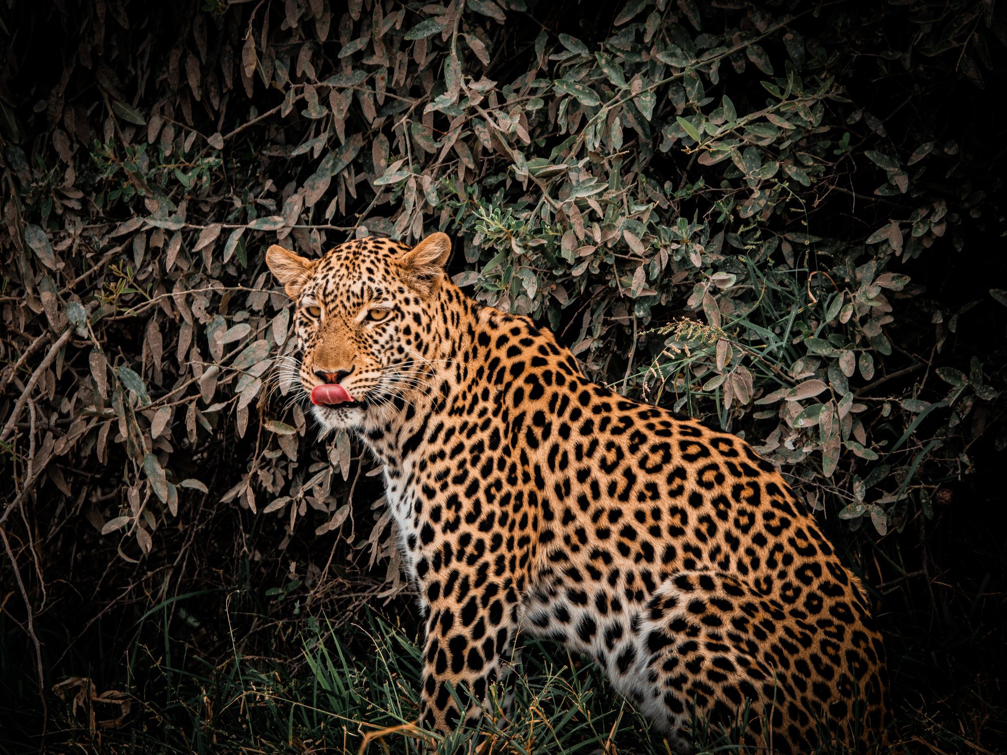
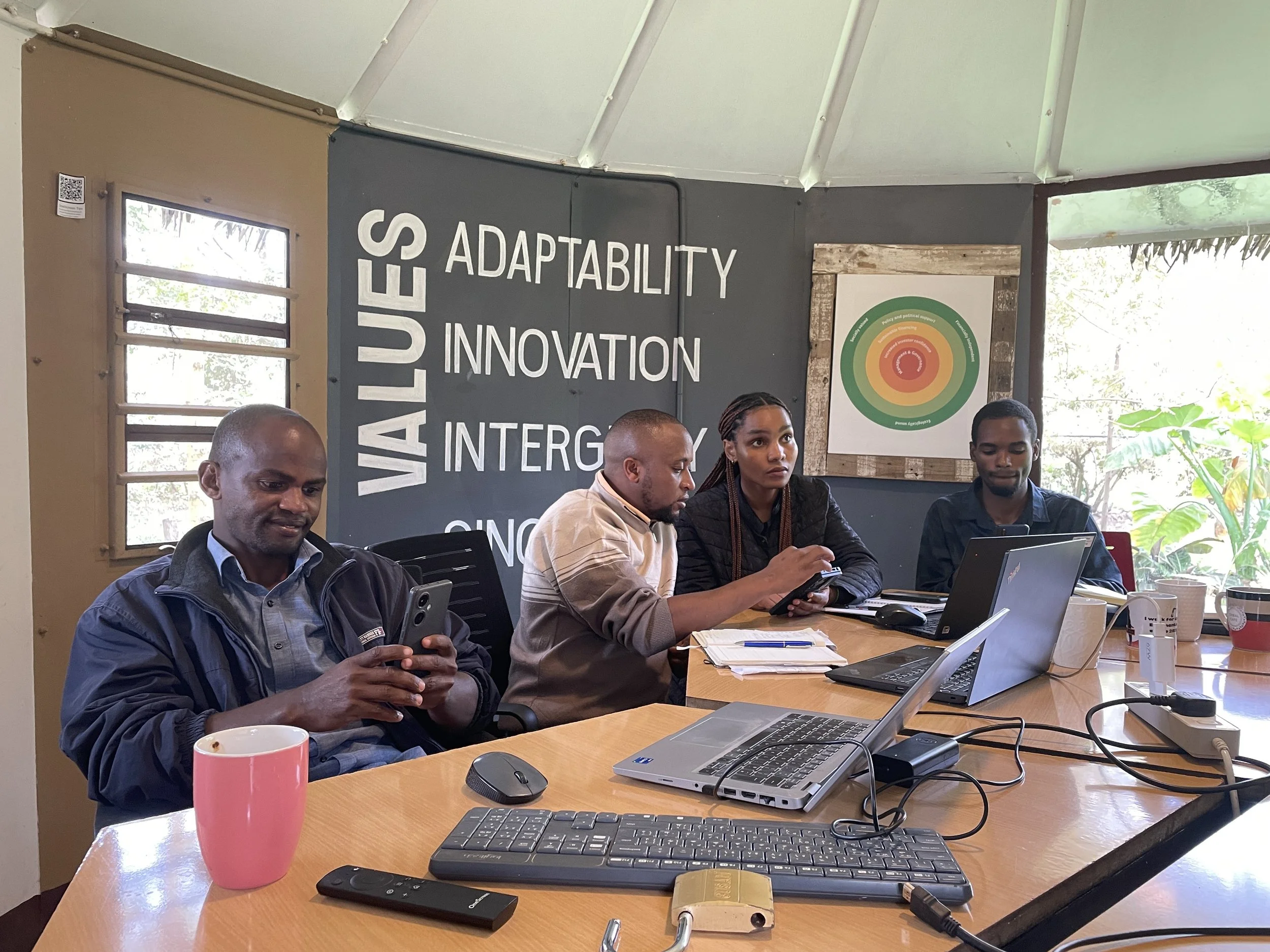
CHARCOAL RISK MODEL HACKATHON
Enhancing predictive models to reduce illegal charcoaling and protect Africa’s biodiversity