
Dr. Koen de Koning
To prevent biodiversity loss, we need information about endangered species: where they live and how they move. In other words, we need data about habitat areas and migration routes. But how can one accurately track wild animals? Current monitoring tools can only provide information at one point in time, or at best on trends in the recent past. And for high quality tracking real-time data is needed. The solution is Digital Twin models. They combine prediction models with real-time data, and are widely used in engineering and construction. We talked to dr.ir. Koen de Koning, the author of the idea to apply Digital Twins in nature conservation, and developer of the first Digital Twin for biodiversity, the Crane Radar, on how it was developed and what are the challenges of being early adopters of this technology.
Nature FIRST is the first project to apply Digital Twin modelling to nature conservation. "It is a big challenge. But as a scientist, I can say it is exciting to be the first, come up and work on solutions that can help us better monitor nature and use technology for good," says Koen.
Digital Twins have already proven to be effective in various industries, from manufacturing to healthcare. It originated in the field of space engineering, and is still widely used by space agencies. The main feature of Digital Twins is that they work with real-time data and predictions based on scientific and expert knowledge. In contrast, general models are static and provide only snapshots of a condition at one point of time. "One of our challenges is to make sure there is no misunderstanding of the concept," highlights Koen.
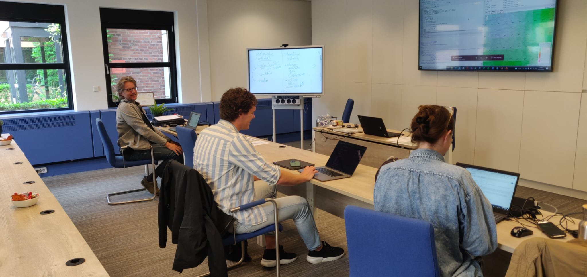
At Nature FIRST, the team that works on the development of Digital Twins consists of experts from various fields. "The advantage of the Nature FIRST consortium is a combination of expertise from different fields. In the team, we have ecologists who can explain processes in ecosystems, and software developers who can build real applications. This is exactly what's needed to properly build Digital Twins," says Koen.

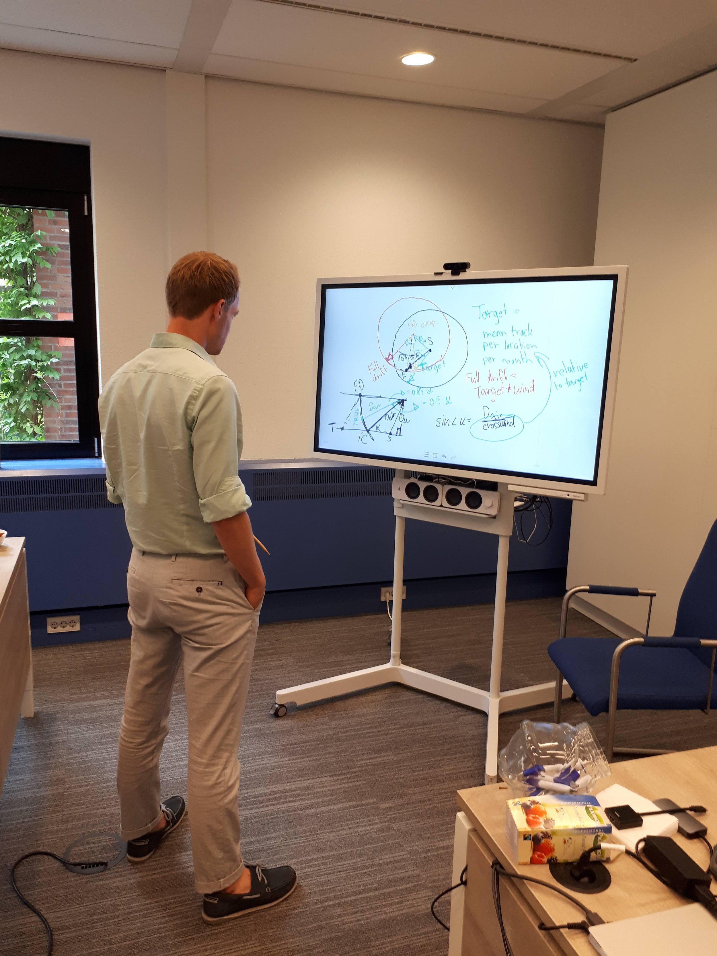
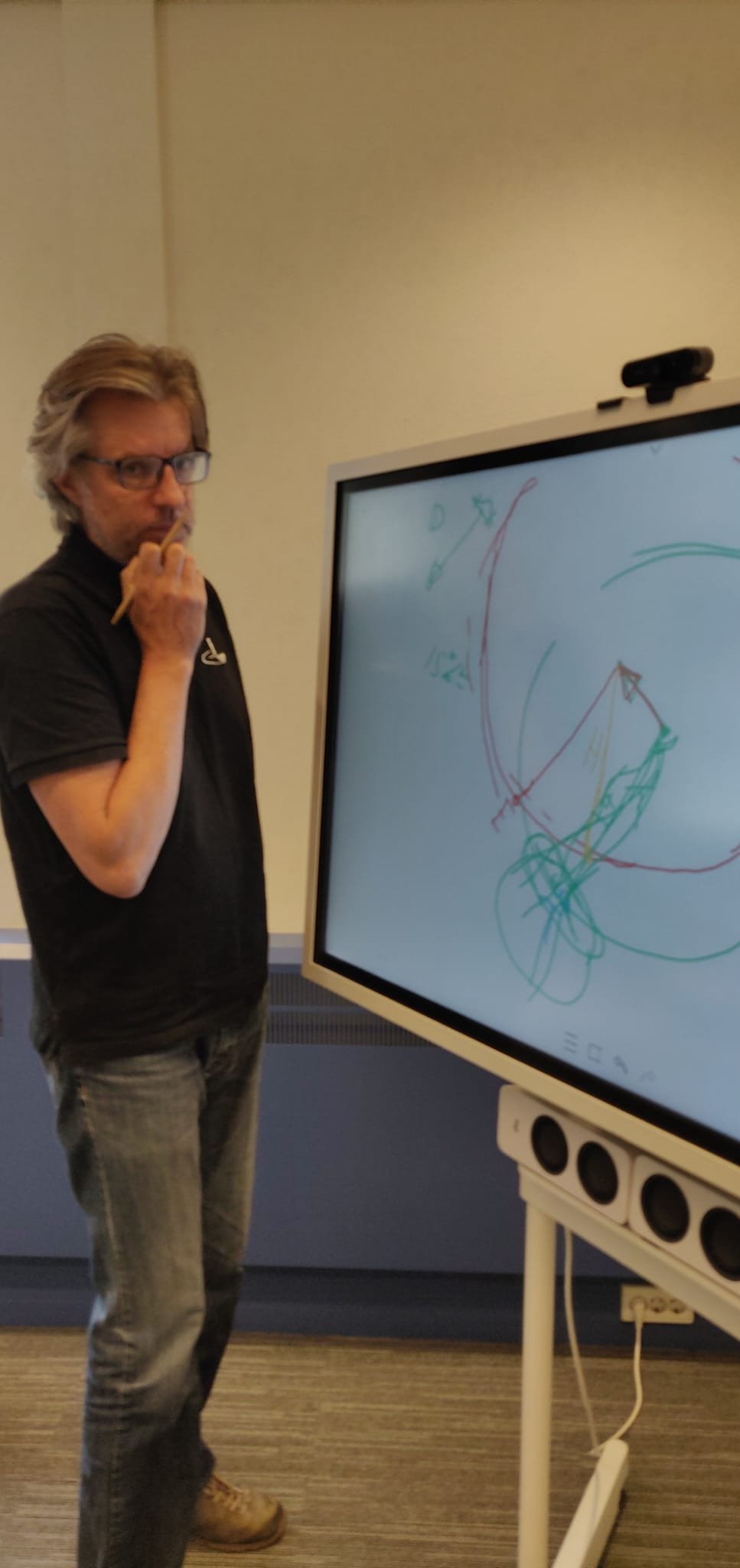
The Crane Radar is the first version of a Digital Twin developed within Nature FIRST. It monitors migration routes of the cranes in the Netherlands, Germany, Belgium, Luxembourg and France. "It started as a hobby of mine, I always liked observing birds, and cranes in particular. To see them, you need to be in the right place at the right time. Somehow I always missed it, and to solve this problem, I came up with an idea to create a Digital Twin for monitoring the cranes," shares Koen.

Migration of the cranes has become the perfect starting material for building a Digital Twin as it has essential elements. Firstly, the direction of the routes is straightforward and easy to predict. The cranes are migrating from north-east to south-west in autumn, and south-west to north-east in spring. Secondly, birders report their crane observations on an online platform about location, time, and flight direction, which can be used for prediction. Being combined with wind predictions and flight prediction models, it creates a Digital Twin with real-time updates on where the cranes are flying.
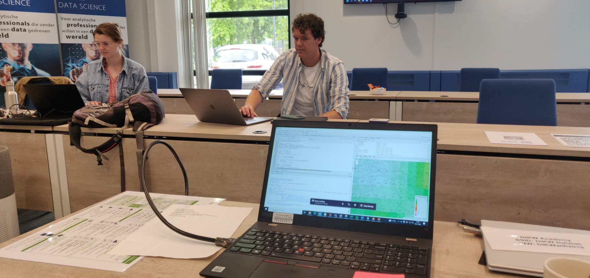
The Crane Radar can be easily accessed by anyone. You can record your own observations at Waarneming.nl as soon as you see a crane flying. As soon as it gets uploaded, you can be sure you have improved the prediction. The application is updated every minute for each group of migrating cranes. Of course, the application becomes active only during migration periods.
The Crane Radar developed by Nature FIRST can be further used in other regions. “One of the objectives of the Nature FIRST project is to identify what is necessary for scaling up Digital Twins,” says Koen. As for other species, the Digital Twin for the cranes can be easily adapted to monitor the sturgeon in the Danube river, one of the target species of the Nature FIRST project. “General rules to create a Digital Twin model for species in the state of migration are the same,” explains Koen. However, to monitor large carnivores such as wolves and bears, the research team will develop new types of Digital Twins.
What are the main challenges?
Being the first adapter of Digital Twins in biodiversity preservation, Nature FIRST faces a few challenges. Firstly, it is the need to agree on a common definition of Digital Twins as a combination of prediction models and real-time data. Also, interdisciplinary cooperation is needed. "We are still learning how to build Digital Twins, and we can do so thanks to the experience of our colleagues from other fields," says Koen.
In addition, policy makers need to understand limitations of Digital Twins. They can be used for the purposes they were built for. For example, the Crane Radar can only be used for monitoring the crane's migrations. Digital Twins mimic the natural processes, but they are still simplified models of reality and do not fully resemble every process. If explained adequately, the data provided by Digital Twins can help to make well-informed decisions to prevent biodiversity loss.