


SELECTED PARTNERS & PROJECTS
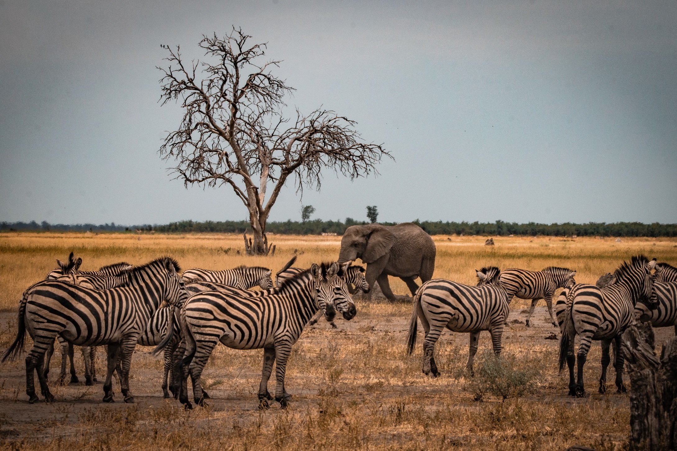
Increase biodiversity, foster human-wildlife coexistence, and combat poaching effectively and efficiently.
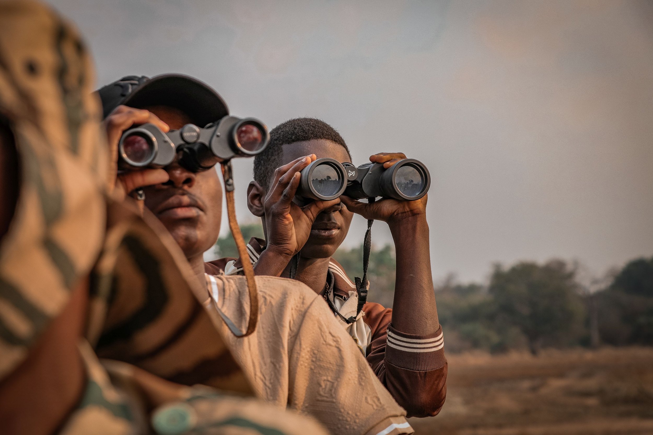
Whether you're an area manager, wildlife ranger, or conservationist, our AI-driven technology provides real-time insights and actionable information, empowering you to make informed decisions within minutes.

Say goodbye to the time-consuming task of gathering and merging data from multiple sources.
With our comprehensive, easy-to-understand platform, you can easily generate reports and predictive analytics, across your data sources. This enables you to make informed decisions faster and effectively measure your impact.
No Technical Expertise needed: Our system is designed for everyone. You can operate it smoothly and effectively without prior technical knowledge.

Future-Proof Solution: Stay ahead with cutting-edge technology and the latest advancements ensuring you’re always up to date.
Seamless Data Integration: Easily connect to your existing third-party data collectors, such as camera traps, animal trackers, or field apps like CyberTracker, SMART or EarthRanger.
Ease of Use: Intuitive tools that gets you started in one day.
Personal Support: Benefit from dedicated expertise tailored to your needs, just an arm's length away.
THE IMPACT WE CREATE WITH OUR PARTNERS
18.971.910
hectares of nature protected
594
supported wildlife ranger teams
494.234
recorded tracks & observations
Collect data efficiently & accurately
Collect and share (observation) data easily, even when you’re offline.

Take swift & informed decisions
Have all relevant data at your fingertips - even from external sources.

Get direct insights & powerful reports
Reveal early threats and show your conservation impact.
“In one or two clicks I get a summary of all I want to know about any incident. Awesome!”
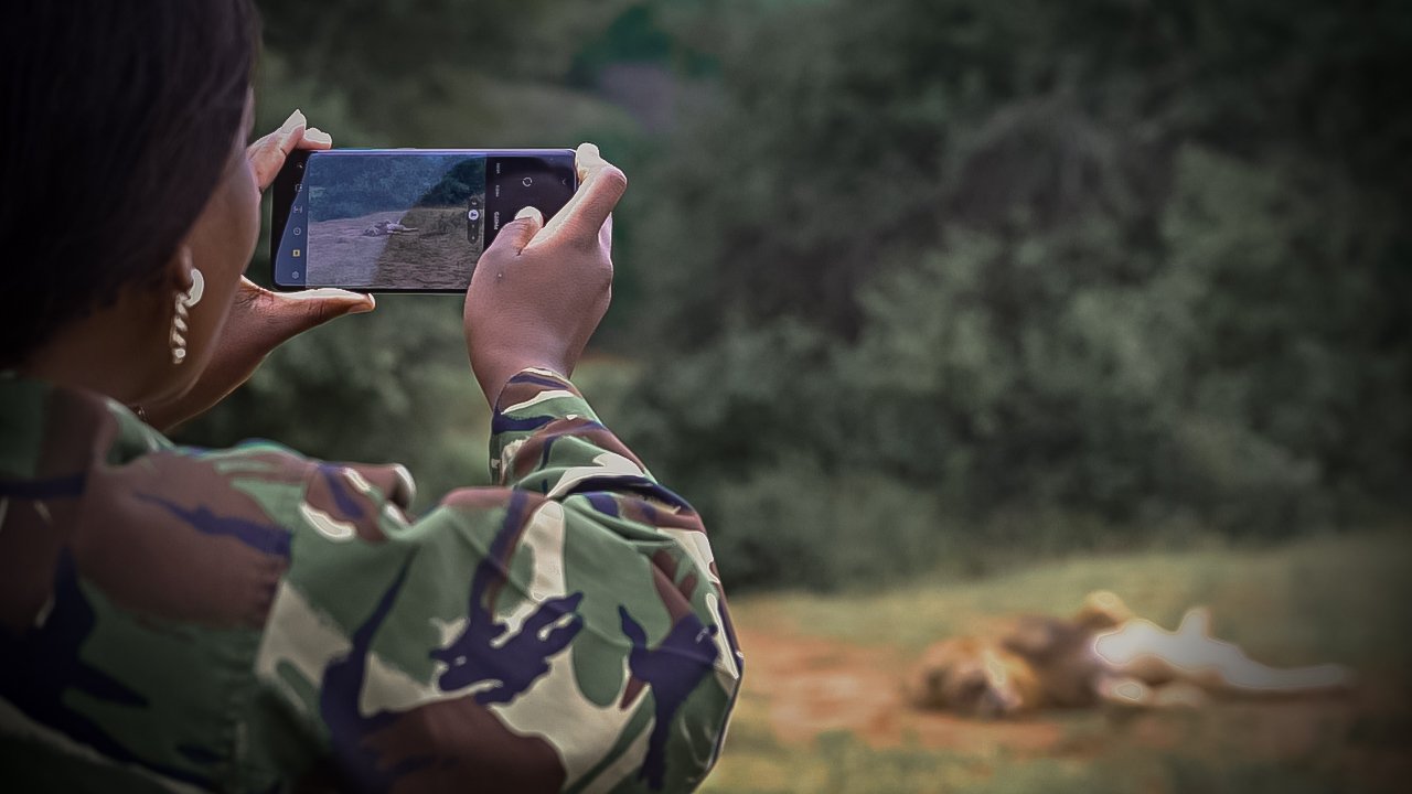
Collect high-quality data with ease.
Record your field observations, community activities and tracks instantly via Cluey, our intuitive data collection app that supports collaboration, enables viewing and editing each other’s observations, and enhances shared situational awareness for nature conservation and wildlife protection.
Intuitive & only minimal training needed
Accurate data: no speculations, no missing pieces
Collect & share with colleagues in restricted access groups
Work offline & sync when possible
Manage users, groups & configurations with Sensing Clues Central
Or easily integrate data from your field apps, camera traps, animal trackers or other third-party sources directly into our platform.

Take swift & informed decisions.
What’s happening now and what has occurred in the past? With Focus 360, our innovative monitoring and situational awareness tool for command centers, you’ll find answers to your most important questions in minutes. Say goodbye to the time-consuming task of merging and analysing data from multiple sources. Swift, informed decisions are now within your reach.
Instant access to all your real-time and historical data
Answer ad hoc questions within 60 seconds
Consolidate all your data in one place, seamlessly linking data from diverse sources, types, and providers
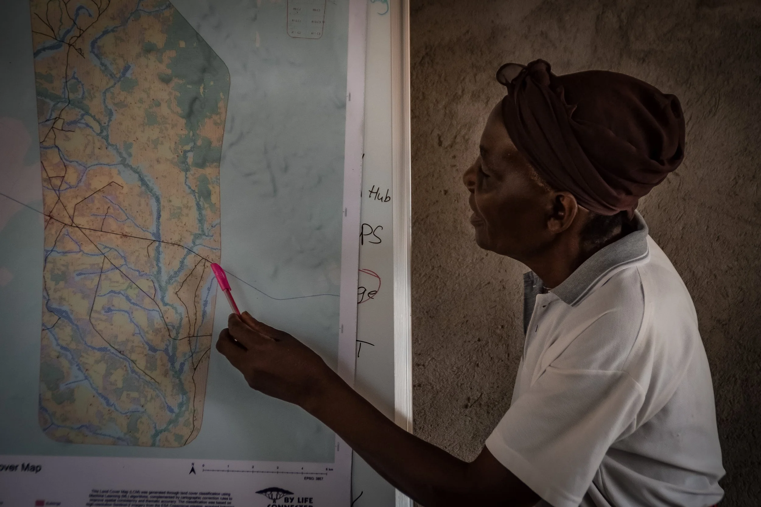
Create high quality maps & reports.
Our advanced Analytical Toolbox — including the Impact Report — lets you measure your impact in just a few clicks and anticipate conservation and wildlife protection challenges. With our reports and visual maps, you can quickly interpret data and make informed decisions that strengthen wildlife and habitat protection.
Impact Report: Get comprehensive, real-time and comparable insights across all your projects in one place.
Observation & Patrol Maps: Instantly visualise wildlife sightings, environmental changes, and patrol routes.
Likelihood Maps: Predict potential events or conditions across regions for proactive conservation.
Community Work Reports: Track and summarise the impact of your community-led activities.
Observation, Patrol & Activity Pattern Reports: Gain clear insights into your data, patrols, and species behaviour for better monitoring and impact assessment.

Custom Solutions
With our Premium or Project Plan, you unlock tailored solutions designed specifically for your needs. Discover how our data-driven solutions can enhance your projects and deliver real impact:
Land-use and habitat maps for Community-led Land-Use Management
Environmental Time Series Analysis
…and much more.
Join our Conservation Innovation Hub
At Sensing Clues, we believe collaboration is key to tackling the problems of conservation and turning wild spaces into safe havens.
Join our interdisciplinary team and let’s develop innovative conservation technology solutions together.

WHAT OUR PARTNERS SAY
-
![]()
“The communication role that the Cluey app plays, has changed the way we operate, resulting in instant responses.”
Keith, Head Pilot Anti-Poaching Air Wing, Wildlife Works, Kenya
-
![]()
“Thanks to Sensing Clues, we have seamless data synchronisation and easy access to real-time insights from our field partners, enabling more informed decision-making.“
Roman, Project Officer Wildlife, WWF, Ukraine
-
![]()
“Thank you for going the extra mile: Your personal support is outstanding, and being available 24/7 makes all the difference!”
Craig, Managing Director, Black Mambas all women Anti-Poaching Unit, South Africa
-
![]()
“Sensing Clues has provided invaluable technical support, enhancing our efforts to protect elephants and engage local communities.”
John, Data & Research Coordinator, Wild Survivors, Tanzania
-
![]()
“The Sensing Clues platform is an exceptionally powerful and invaluable tool for harmonising data, monitoring biodiversity, and managing protected areas.“
Boris, Head of Technology Area, 3edata, Spain
-
![]()
“Cluey is the best app I’ve ever used for data collection.“
Nikola, Researcher and Fauna expert, Bulgarian Academy of Science and Vitosha Nature Park Directorate, Bulgaria
-
![]()
“Cluey is extremely user-friendly and requires no technical expertise.“
Cristian, Wildlife and Landscapes National Manager, WWF, Romania
-
![]()
“In one or two clicks I get a summary of all I want to know about any incident. Awesome!”
Moses, Lead Analyst, Wildlife Works, Kenya
-
![]()
“Sensing Clues offers us a powerful platform for data management and analysis.”
Tom, Director, Nsanga Conservation, Zambia
Seamless integration with all your existing tools.
Our conservation technology solutions effortlessly connect with your existing data, collection tools, and third-party services. It includes uploaded spreadsheets, map layers, camera-trap images, IoT sensors, trackers, Global Forest Watch alerts, and anything more of interest for you. This integration allows all your tools to work together efficiently, simplifying the process of gathering and analysing your data in one convenient platform.
“Sensing Clues’ real-time situation reports are vital in our fight against rhino poaching, providing us with instant access to the information we need.”
Black Mambas all women APU, South Africa
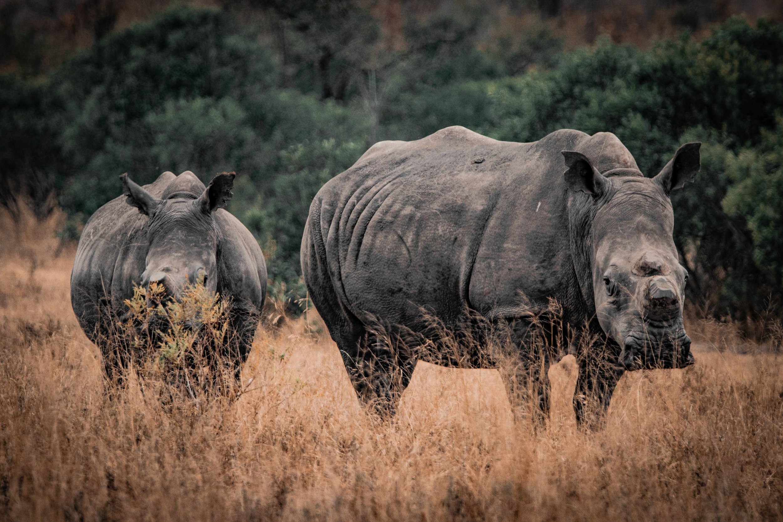
WILDLIFE PROTECTION


“The Sensing Clues Platform has been essential in understanding tigers' spatial patterns, fostering peaceful coexistence between humans and tigers.”
Urban Tiger Conservation Project, India
HUMAN-WILDLIFE COEXISTENCE
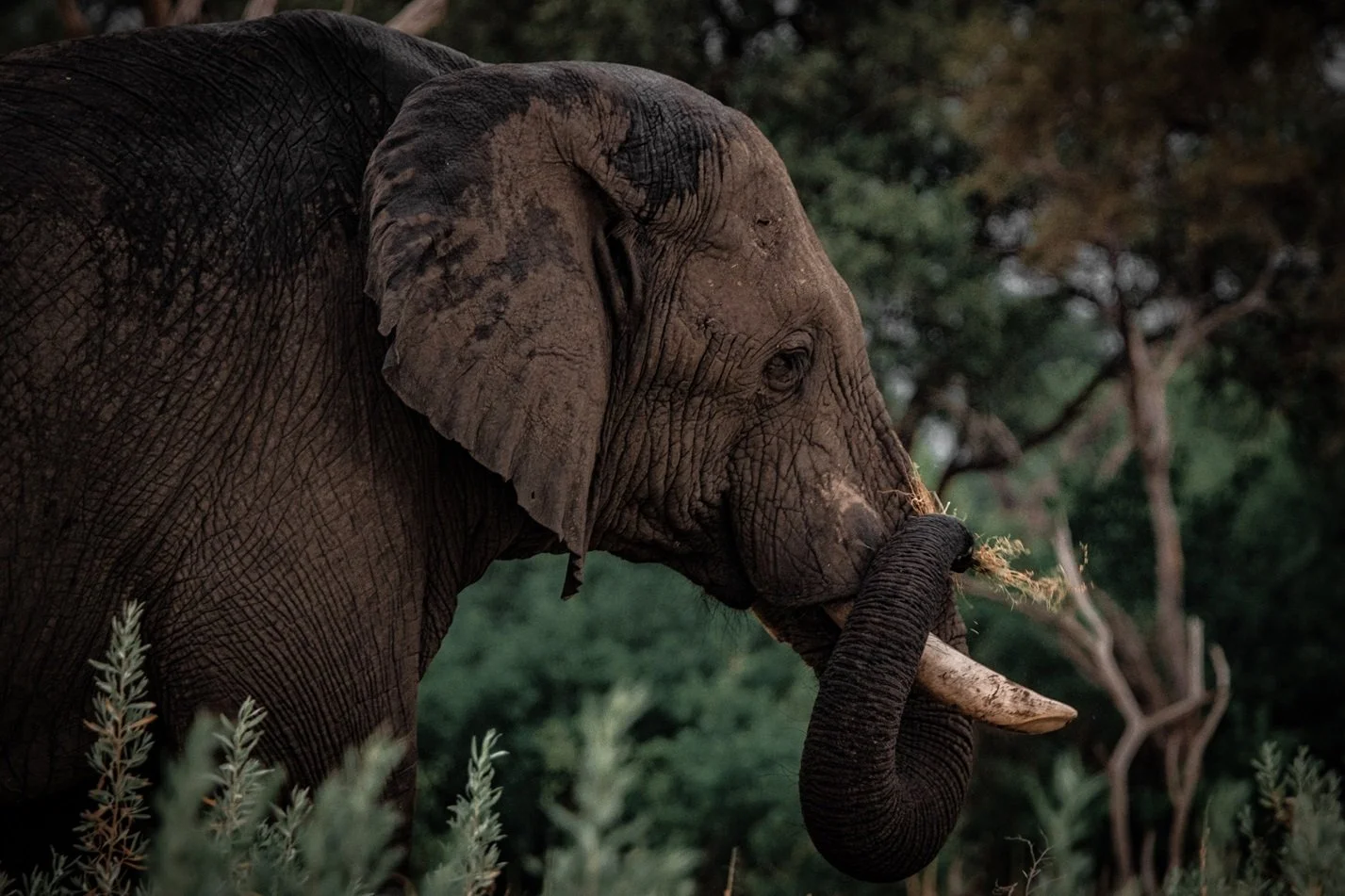
“Sensing Clues has provided invaluable technical support, enhancing our effectiveness in protecting elephants and engaging local communities.”
Wild Survivors, Tanzania
COMMUNITY-LED CONSERVATION